
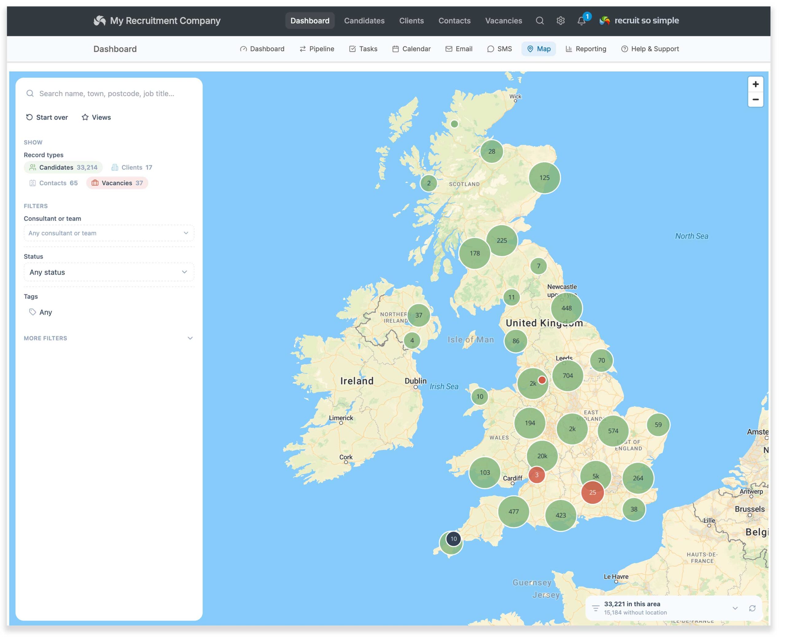
View candidates, clients, contacts and vacancies together on an interactive map. Explore your database geographically, and filter records by type, consultant, tag, status and more.
Map gives you an interactive view of the people, clients and vacancies in your database. To appear on the map, a record must have a valid UK or US postcode.
Search
From the top of the options panel, search by name, reference, company name or job title.
Filters
You can filter the map by:
- Consultant or Team
- Status for candidates, clients, contacts or vacancies
- Tags for any record type
- Label for candidates, clients, contacts or vacancies
- Industry for candidates and vacancies
- Business Area for clients
- Client
Saving a view
Click Views from the options panel to save your selected filters.
If required, you can also set a saved view as your default map view.
Distance
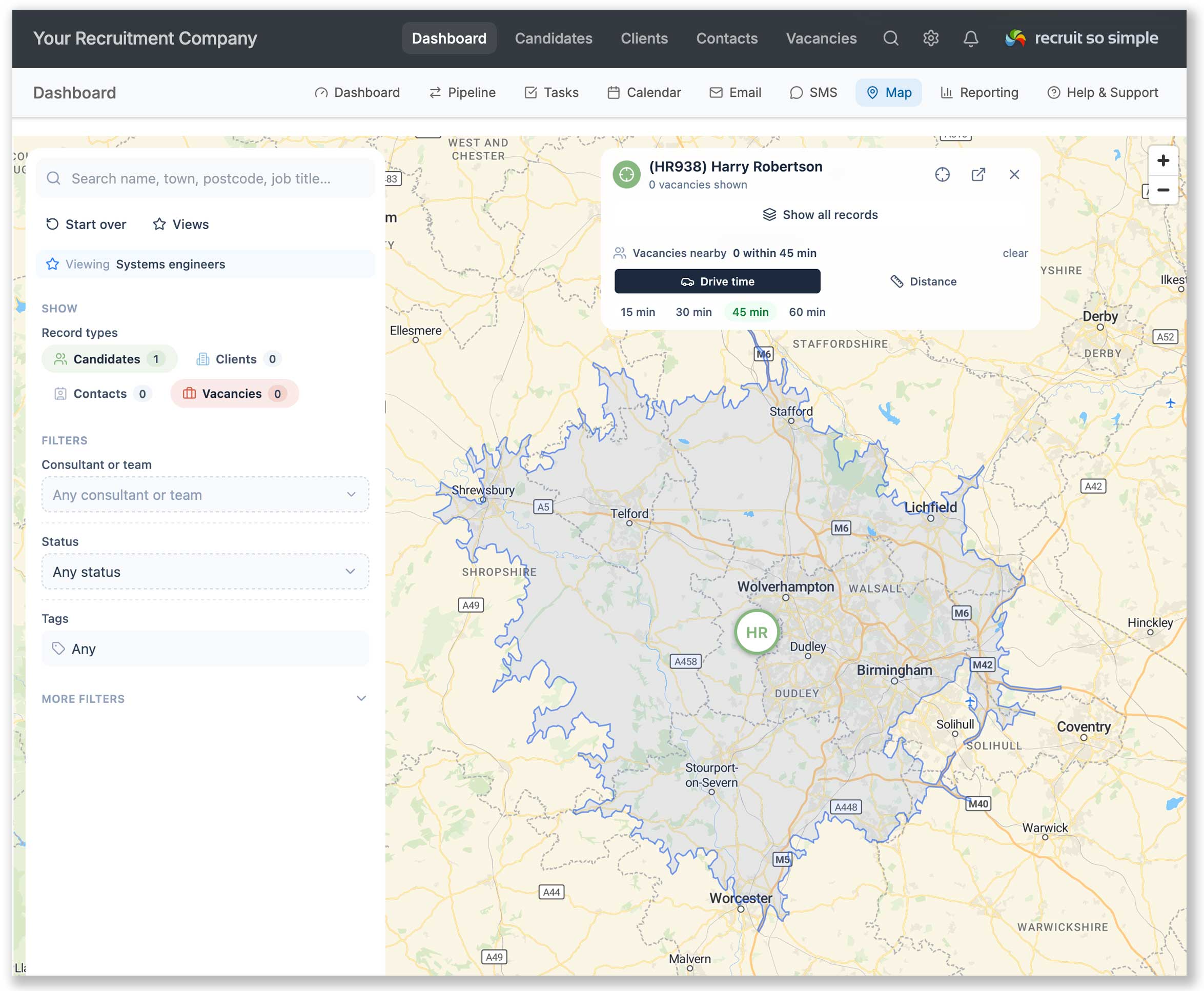
Click a record’s location pin, then choose the distance options.
Drive time is selected by default. For example, choosing 30 minutes will add an overlay showing the area that can be reached within approximately 30 minutes’ drive.
A circular radius may be shown briefly while a more accurate drive-time area is calculated.
Choose Distance to show a mileage radius instead. This is calculated “as the crow flies”.
Click Show all records to display other records on the map, depending on which record types are enabled in the options panel.
Where to find it
The map can be found from [Dashboard > Map].
You can also open the map by clicking a postcode from one of the grids. This will show the postcode location, but will not automatically select the record.
From a record’s Overview screen, click the Open on Map icon next to the postcode to open the map with that record selected.